
When I decided to fly to Incheon for my trip to Asia, I wanted to spend some time in South Korea. I had a limited amount of days I could spend here, so I wouldn’t be able to go too far afield, but as Incheon and Seoul are in the northern part of the country, it meant I was close enough to be able to do a day trip to the Demilitarised Zone, the famous DMZ.

A very brief history of the creation of the DMZ is that Korea was divided into two at the end of the Second World War by the United States and Soviet Union having previously been a Japanese colony. The idea was Korea would become an independent country, however, both sides of the divide formed their own government, each claiming to be the legitimate government of Korea which led to the Korean War in the early 1950s. The war ended with the signing of the Korean Armistice Agreement in 1953 with North and South Korea becoming separate independent countries with a 4 kilometre wide demilitarised zone between the two and a joint security area. Since then North Korea has been a closed off, secretive country with very few people allowed in.

Up until 2023, it was an option, with advance planning, to do a specialist tour to the Joint Security Area with a talk from a North Korean defector and going to Panmungak where you can set foot into North Korea. Only a few people are allowed on each tour as this is a very high tension area. I imagine it would have been an interesting tour.

Sadly, it was no longer possible to visit the Joint Security Area since an American soldier had tried to defect into North Korea the previous year. The soldier was facing disciplinary actions from the US Army and apparently decided bolting into North Korea was a better option. It was the first defection of a US soldier into North Korea in over 40 years. The soldier was sent back to the States later in 2023, but the JSA tours have still not resumed. On this tour, I got to within 120 metres of the North Korean border.

There are several options when doing a day trip to the DMZ. It is possible to go there on the train yourself, but it’s still very restricted, so there’s no real advantage to doing that. In addition, if you go on a tour you get driven to all the different places in the DMZ and there are lots of add ons to choose from as well as the main places, so I chose the one with the cable car included and the Gamaksan Red Suspension Bridge.

The pick up was in Seoul close to one of the underground stations, as usual I was there really early, just to make sure I got there on time. Even then we still ended up waiting for people, despite them saying they won’t wait for latecomers. Our guide was a Korean lass called Moon who took us to the first stop on our day long tour, Imjingak Park.

Imjingak Park is a memorial to the victims of the Korean War. It was built in 1972 in the hope that it would be possible to unify North and South Korea and is the location of several interesting things on the tour. The first thing you see is the signs mapping the DMZ. The Military Demarcation Line is located 7 kilometres away. We were very close to North Korea.

We were taken to look at a steam train which does short rides for tourists and was also next to the shops where you could buy North Korean currency. I’m not interested in that kind of thing, so I took a couple of photos and passed.

There is another train on the railway line in another area of the park, this one is rusted and full of bullet holes. This train was used during the Korean War to transport supplies for UN troops up to the North Korean capital, Pyongyang. It was the last train to cross the border between North and South Korea and many North Koreans would jump on it to try and escape to the South. On New Year’s Eve 1950, US soldiers stopped the train on the South Korean side and armed with machine guns completely destroyed the engine with over 1,200 bullets, because the UN feared the train might fall into the hands of the North Koreans. The train remains on the railway line continuing to rust as another reminder of the Korean War.

Then there were the Peace Statues, two young women with an empty chair at the side of them. Our guide explained about the separation of families during the Korean War where one part of a family ended up in North Korea and the other in South Korea as they did not realise they would not be able to freely cross the border. She said that the two countries have an agreement for separated families to be reunited just once. It runs on a lottery system because there is such high demand, but she said that her grandmother had been separated from her brother and they were able to meet after being separated for decades. After the one meeting, they were back in their respective countries and were unlikely to ever be able to see each other again. Even so, they were lucky. Most separated families have no communication at all and do not know what happened to their loved ones. Every year thousands of names are crossed off the lottery list because those people have since died.

Our guide wasn’t a fan of the President of North Korea. She said Kim Jong Un wanted to be the embodiment of his grandfather who was the first president of North Korea. She said that was why he had put on weight and had that ridiculous haircut.

The Freedom Bridge was where 12,733 Korean Prisoners of War crossed to freedom in 1953 following the Armistice Agreement. You can see the end of it, but you are not allowed to walk onto the bridge.

It is located behind the Mangbaedan Altar, made up of 7 sculptured stones. Mangbaedan is in North Korea and immediately across from Imjingak. Any Koreans who have been separated from their families in the North, can hold memorials for them here facing their home country. These are especially performed on national holidays, such as Lunar New Year and Korean Thanksgiving known as Chuseok.

I would have loved to have had longer to look round, but I had to rush to go on the gondola that I had booked. However, Imjingak is a place that anyone can go, you don’t need any special permissions to go there like on the DMZ tours, so if you wanted to, you could spend a lot longer there if you visited independently.

As it was, I was on a DMZ tour, so my next stop was to go on the Paju Peace Gondola. Only two of us in the group had chosen to go on the gondola, me and an Australian woman, who I ended up sitting next to on the bus and we also took photos for each other at the various locations on the tour. The Peace Gondola takes you a mile across the Imjin River.

Once again, we had very limited time to do the gondola ride and properly explore over the other side of the river. Crossing the river you can see two bridges spanning the two sides from the cable car. Once over at the other side we managed to climb to the rooftop viewing area and get some photos.

The area on the far side of the gondola is within the civilian control line area and you have to sign a security pledge not to take photos of guard posts, surveillance equipment, barbed wire and suchlike. As long as you avoided these areas there was a section in front of the gondola that you could go into.

You could also walk along the military road to get to the peace lighthouse, wish ribbon zone, peace pagoda, observatory and reproduction of the footbridge where the presidents of North and South Korea met on 27 April 2018. I didn’t have time to do any of these. It was a little disappointing. But I enjoyed the Paju Peace Gondola ride and the view from the rooftop.

Peace was definitely a recurring theme in Imjingak, there is obviously a hope that one day the countries will be united, but as I continued on my tour, that seemed a long way away. Despite the meeting between the two presidents in 2018, North Korea closed its borders again during the Pandemic and they still haven’t reopened.

I went on the gondola back across the river and this time we were in a crystal cabin that had a glass floor, which was a bonus. Then we boarded the bus to travel to our next stop, the Gamaksan Suspension Bridge.

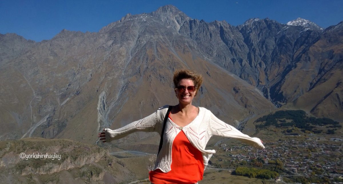
There are two suspension bridges you can visit when going on a DMZ tour. One is the Majang Reservoir Suspension Bridge, which as the name suggests, crosses a reservoir and the other is Gamaksan Suspension Bridge which leads to the trail to the top of Mount Gamaksan. I chose the tour which included Gamaksan Suspension Bridge. The bridge, which opened in March 2018, is 150 metres long and is officially named Gloucester Heroes Bridge, dedicated to the First Battalion Gloucester Regiment of the British Army who fought in the Korean War.

The Gamaksan Suspension Bridge is a bright red bridge built to harmonise with nature and connecting the Seolmari Valley to Mount Gamaksan. It is possible to hike to the top of Mount Gamaksan which is 675 metres high, again on this tour there wasn’t the time for that, but we did have time to hike to a waterfall.

First of all, Moon took personal photos of everyone in the group standing on the bridge and then we were given time to explore. First of all I crossed the bridge and being a suspension bridge it does wobble a bit. That didn’t bother me, I’ve been over loads of suspension bridges and they don’t tend to freak me out unless they have low sides. This definitely didn’t fall into that category. There was a memorial at the other side of the bridge with its official name of Gloucester Heroes Bridge and almost everything on it was written in Korean other than the name and the fact it was 150 metres long.

I then continued along the path on the other side up and down steps until I reached a small waterfall running over a rock. I understand there are more powerful waterfalls along the trail if you carry on walking to the top of Mount Gamaksan, but this was as far as I was able to walk in the time I had.

When I crossed the Gamaksan Suspension Bridge to head back to the coach I had just enough time to walk to the viewing tower where I could see the suspension bridge from above and get an idea of the size of the valley and surrounding mountains from a more elevated position.

After this I had to go to the bus. We were now on a strict time schedule. This was where the DMZ part of the tour began.

Our first stop on this element of the tour was to the Dora Observatory. Situated on top of Mount Dora, the viewing platform gives the observer views into North Korea. That was what we were all here for. To spy into North Korea.

We were now in a restricted zone and you have to join a tour to come here. It is possible to sign up to do a tour here as an independent traveller, but it’s much easier to join an organised tour like I did, especially if you’re staying in Seoul.

We were taken to the observation platform and there were sets of binoculars for you to look through. In the distance you could see the Imjin River which forms a large part of the border at the 38th parallel. At the other side of the river is North Korea.

Looking through the binoculars you can clearly see the city of Kaesong with a few high rise buildings. Closer to the river is the propaganda village of Panmunjon where you might be able to catch sight of farmers at work. I could see some people, but they were a long way away, so you couldn’t make much out. There was also a military tower across the river and there were soldiers patrolling on it, again, it was very difficult to make them out due to the distance.

It was rather strange being able to legitimately spy into North Korea, but obviously the North Koreans are well aware of it so they are able to control what’s going on within viewing distance of Dora Observatory. All the same it’s fascinating to be able to see into this closed off, secretive country, even if what you see is North Korean propaganda.

We were only allowed a short time at the observatory and then were marched off back to the bus. I had the opportunity to take a few photos on the road while walking back to the coach park. I went to the Dora Observatory just after they opened the new building, so the old building was no longer accessible. However, the old building was still there, so I took a photo of it.

Next up was the Third Tunnel of Aggression. The North Koreans tried to dig their way into South Korea several times and four of the tunnels have been discovered, although it is believed there are more.

The Third Tunnel of Aggression is one of the 4 known tunnels that run under the border between North and South Korea. The third tunnel is the most westerly along the border and the closest one to the South Korean capital of Seoul. It was discovered in October 1978 following the detection of an explosion in June. It took 4 months to locate the tunnel and intercept it. This tunnel threatened the Armistice Agreement and was considered an act of aggression by South Korea, hence the name.

After initially denying they dug the tunnel, North Korea said it was part of a coal mine, but there is no coal in the area, so this was just a cover story. It is believed that North Korean soldiers would have used the tunnels to march into South Korea in a surprise invasion.

The tunnel has now been secured with 3 concrete barricades and is now open to tourists as part of the DMZ tour. The tunnel is a mile long and you can walk along it, 73 metres underground, as far as the third barricade which is 120 metres from the border with North Korea.

The tunnel is a lot steeper than you would think and it’s quite a long walk. You have to wear a hard hat to go into the tunnel. There isn’t a time limit to walk down the tunnel, so if you find it hardgoing, you can take it more steadily.

You walk down the tunnel towards the North Korea border until you reach the third barricade. You can then look through a hole in the wall and see the second barricade. And that’s as close as you can get to North Korea.

Photography is banned in the Third Tunnel. We had to put all our belongings in a locker before we could enter the tunnel. It was disappointing not to be able to take photos, but these were the security rules we had agreed to. After walking to the end of the tunnel and peering through the hole in the wall at the third barricade, then came the walk up the steep incline out of the tunnel.

However, our guide, Moon did have some photos of the inside of the tunnel which she shared with us, so even though they aren’t my photos, I still have some reminders of what the inside of the tunnel was like.

There is an exhibition hall attached to the tunnel with the lockers where you had to put your belongings and this also had models of Joint Security Area soldiers. As this was a display, you were allowed to take photos here, so I got a photo with the models of the soldiers.

We also had a little bit of time in the outside area where everyone wanted their photo at the DMZ letters. I took several photos here and had a few taken of me, my favourite was of me sitting in the letter D.

There was also a sculpture entitled This One Earth which shows a globe split into two with figures either side trying to push it back together, another symbol of the separation of families when the peninsula was divided.

After a short time in the outdoor area, we went back to the bus for our final stop of the day, the Unification Village.

Paju’s Unification Village is a peaceful location not far from the Third Tunnel. There is a tourist shop and restaurant and a small park here. This was our lunch stop, but I passed on lunch and had a brief wander around the shop and then headed outside. There is a small park with a bench and a heart made out of flowers and leaves with the sign Unification Village above it as a sign of love and peace.

This is also an area where people live and work and farming is an important industry here. The 3 main crops grown here are soya, rice and ginseng. There is a sculpture to signify the local importance of these crops, which I did rather like. After spending some time in the sunshine in the Unification Village, it was now time to go back to Seoul.

The one thing I would say about the tour is that it was not long enough. Certainly the first stop, especially as I also went on the gondola, needed to be longer. We were on a tour with a lot of things to fit in and there are restrictions and time limits for the tours to certain areas, such as the Third Tunnel and Dora Observatory, so there probably wasn’t anything the tour operator could do about this, but if you wanted to spend more time there it is possible to just visit Imjingak without going on a tour and you can stay as long as you like.

Similarly, I would have been happy to spend longer at the suspension bridge, which is another place you can visit independently without needing special permissions. If I went back and visited the bridge on my own, I would consider staying longer and doing the hike up Mount Gamaksan.

I would have definitely liked to have more time in the area where the tunnel was. I never bother with lunches, as the food is usually not to my taste, it was easy enough for me to simply wait until I got back to Seoul, especially as we were back by about 3pm. I didn’t need as long at the Unification Village, there wasn’t a great deal there. But I have to accept other people needed time for lunch and also about the strict time restrictions for the tour operators, so this isn’t a criticism, just a personal preference.

Even though the tour was a bit rushed in places, I still thoroughly enjoyed it and would recommend it to anyone. If I went back to South Korea I would definitely do the tour again, maybe try the other suspension bridge next time. I would probably visit Imjingak independently so that I could spend more time there as there are no restrictions or special requirements to go there other than having ID and signing a security pledge if you go on the gondola. I might visit the suspension bridges on my own too, if I was easily able to get there. If they re-start the Joint Security Area tours, I would happily work my itinerary around that. I really enjoyed travelling in South Korea, I think I will be back at some point.

I travelled to South Korea in May 2024.
I booked my tour with VIP Travel through Get Your Guide. The tour departed from City Hall in Seoul. The tour cost £55 which included transport from Seoul, all the stops mentioned in the post, the gondola ride and the Gamaksan Suspension Bridge.
I stayed at Glad Hotel Yeouido in Seoul. A standard double room cost £90 per night. I booked this through booking.com.
I used the underground to get around Seoul city centre. I purchased a T-Money card which you load with cash and then tap in and out on the underground, buses and taxis in Seoul, like an Oyster Card in London. A single journey in the city centre costs approximately 75p.
I flew to Incheon Airport from Manchester via Abu Dhabi with Etihad Airways. The return flight cost £628 and included a free 2 night stopover in Abu Dhabi. The flight time from Abu Dhabi to Incheon is 8 hours 25 minutes.